
Articles
Mexican States
Southwest United States
Heritage and Governance

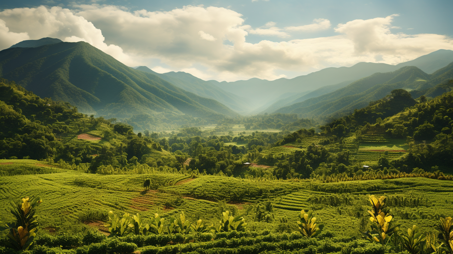
Indigenous Querétaro de Arteaga: Land of the Otomies
The Mexican state of Querétaro de Arteaga ‒ located near the center of the Mexican Republic ‒ is bordered on the west and northwest by Guanajuato, on the northwest by San Luis Potosí, on the east by Hidalgo, on the southeast by the State of México and on the southwest by Michoacán de Ocampo. Querétaro is one of the smallest Mexican states, containing only 11,699 square kilometers (4,518 square miles), occupying only 0.6% of the national territory and ranked 27th out of 32 states and the Distrito Federal. Politically, the state is divided into 18 municipios.

The History of Zacatecas: From La Gran Chichimeca to a Silver-Based Economy
The state of Zacatecas, located in the north-central portion of the Mexican Republic, is a land rich in cultural, religious, and historical significance. With a total of 75,539 square kilometers, Zacatecas is Mexico’s eighth largest state and occupies 3.9% of the total surface of the country. Politically, the state is divided into fifty-eight municipios and has a total of 5,064 localities, 86% of which correspond to the old haciendas.

Indigenous Zacatecas: From Contact to the Present Day
The present state of Zacatecas is located at the geographical center of Mexico. Its shares borders with eight states: Coahuila de Zaragoza (on the north), Durango (on the west), Nayarit (on the southwest, Jalisco and Aguascalientes (on the south), Guanajuato (on the southeast), San Luis Potosí (on the west) and Nuevo León (on the northwest). As the eighth largest state of Mexico, Zacatecas has a square area of 75,284 square kilometers, equal to 3.84% of the national territory. The State of Zacatecas is divided into fifty-eight municipios, with the City of Zacatecas as its capital. Its territory lies wholly within the central plateau and is traversed by Sierra Madre Occidental mountain ranges.

Indigenous Nayarit: Resistance in the Sierra Madre
The Sovereign State of Nayarit, located in northwestern Mexico, is surrounded by Jalisco on the south and east, Zacatecas and Durango on the northeast and Sinaloa on the northwest. On its west is the Pacific Ocean. With an area of 27,857 square kilometers, Nayarit takes up 1.4% of the national territory of Mexico and is the 23rd largest state. In fact, Nayarit is one of Mexico’s smallest states; only Aguascalientes, Colima, Morelos, Tlaxcala and the Federal District are smaller.
Article Categories
- Aguascalientes 14
- Arizona 4
- Baja California 5
- Baja California Sur 2
- California 20
- Campeche 4
- Census 36
- Chiapas 3
- Chihuahua 11
- Coahuila 7
- Colima 1
- Conquistador Chronicles 2
- Durango 2
- Ethnic Identity 41
- Genealogy 35
- Guanajuato 8
- Guerrero 8
- Hidalgo 2
- Indigenous Insights 98
- Jalisco 25
- Mexico City 11
- Michoacan 7
- Morelos 4
- Nayarit 3
- New Mexico 4
- Nuevo Leon 7
- Oaxaca 6
- Politics 10
- Puebla 5
- Queretaro 1
- Quintana Roo 4
- San Luis Potosi 11
- Sinaloa 6
- Sonora 16
- Southwest US 26
- State of Mexico 5
- Tabasco 3
- Tamaulipas 11
- Texas 7
- Tlaxcala 7
- Veracruz 6
- Yucatan 6
- Zacatecas 13