Articles
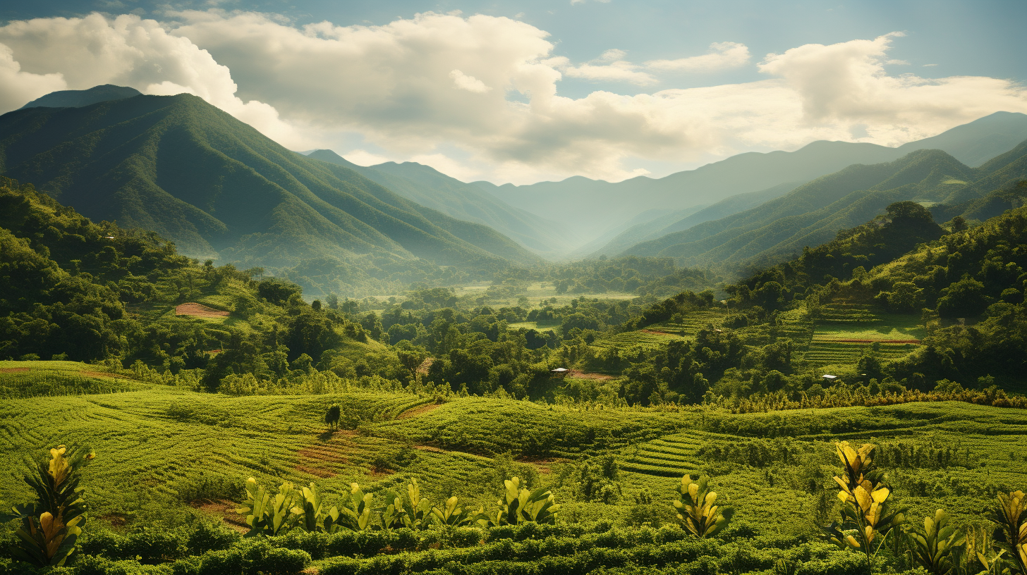
Mexican States
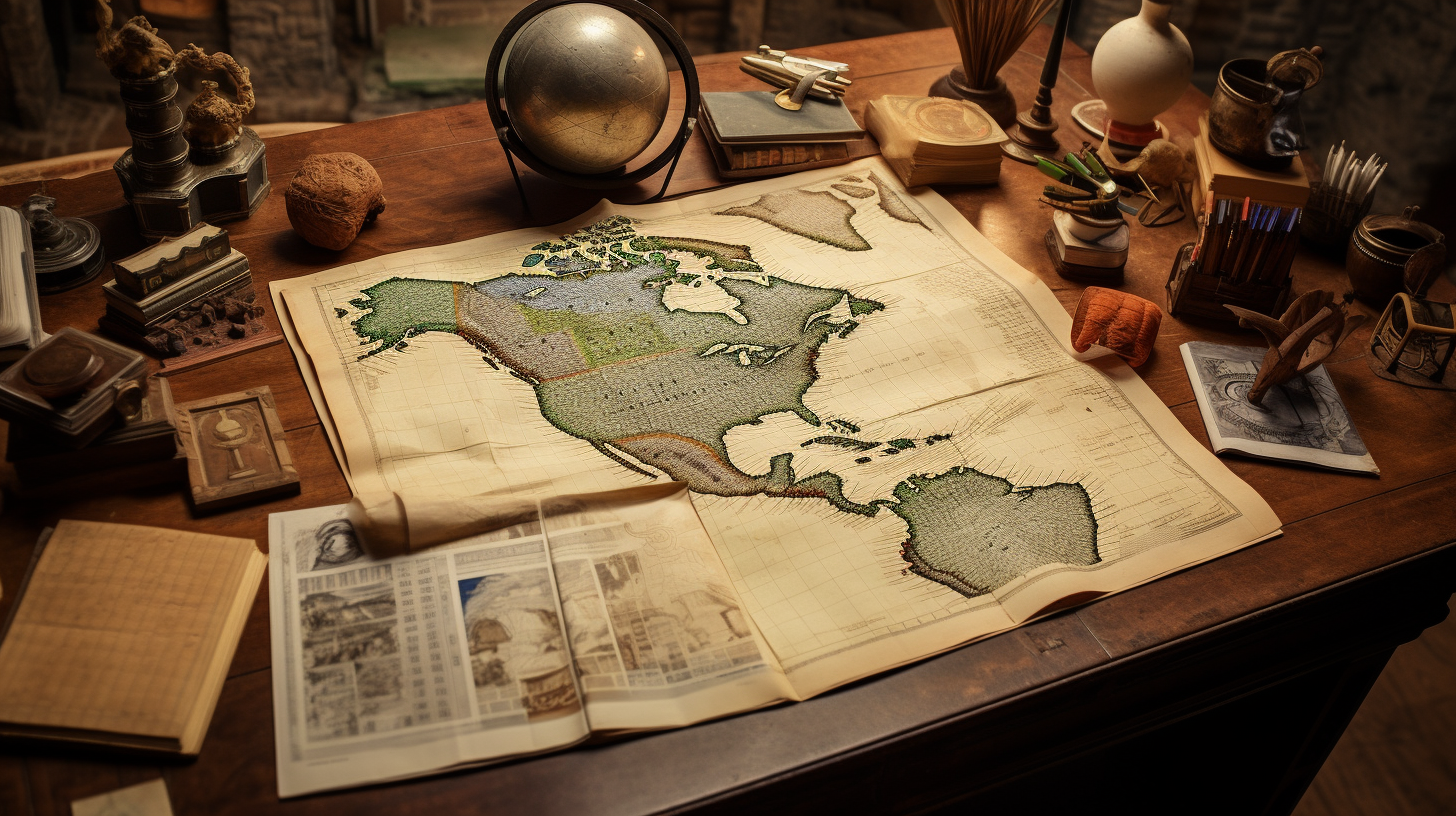
Southwest United States
Heritage and Governance

The Legacy of the Kumeyaay: Their Road from Despair to Success
The Kumeyaay are believed to have occupied the San Diego Coastal Area for as many as 12,000 years. But when the Spaniards, Mexicans, and Americans came, they reduced the Indigenous occupants of this area to the status of landless peons. Over time, the Kumeyaay developed survival strategies in order to survive the occupation of others. Many would say they have not only survived, but thrived, thanks to the gaming operations, their stamina, and their perseverance.
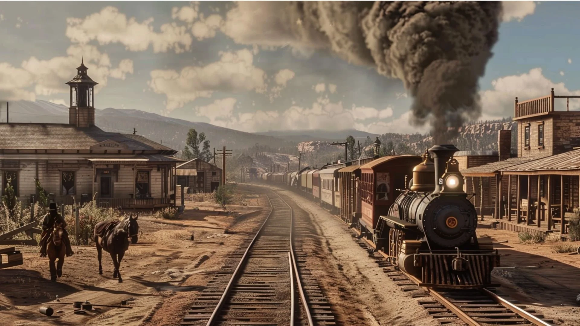
Northwest Mexican Railroading
Jonathan explores the development of railroads across northwestern Mexico, focusing on Baja California, Sonora, Sinaloa, and Chihuahua. He examines the expansion of rail networks during the Porfiriato (1876–1911), the role of foreign investment and U.S. railroads, and the economic and cultural impact of rail transportation on mining, agriculture, and migration. The presentation also highlights key lines such as the Ferrocarril de Sonora, Central Mexicano, and Chihuahua al Pacífico, along with important historical events including the Cananea strike and the story of Jesús García, the Hero of Nacozari.
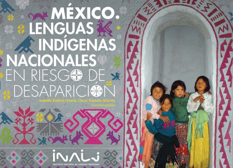
Mexico’s Endangered Languages: An Update
Mexico is considered a multicultural country with enormous linguistic diversity. However, many of its Indigenous languages are on the verge of disappearing and some of them may disappear completely in the near future. See why these languages are disappearing and what is being done to preserve them.

The Expedition of 1781
This presentation explores the historic “Expedition of 1781” which led to the eventual Spanish settlement of Los Angeles, Santa Barbara and San Buenaventura. Discover the challenges faced by the soldiers and settlers of that expedition and their role in shaping Southern California's early development. Today’s sprawling metropolis of Los Angeles and its surrounding regions is the result of the Expedition of 1781.

Divided Loyalties: The Indigenous Peoples Who Occupy the US-Mexico Borderlands
This presentation discusses the native groups that occupied the regions adjacent to and on both sides of the U.S.-Mexico border over the last three centuries. While some of these tribes are well-known to us today (i.e., the Yaquis, Tohono O'odham, Kumeyaay, etc.), tribal groups that have nearly disappeared as distinguishable cultural entities (i.e., Carrizos, Mansos, Jocome, Coahuiltecans, etc.) will also be discussed. In addition to the history of those tribes, we will explore the current status of some of the tribal communities that still exist today.

Indigenous Baja California and the Census
The State of Baja California occupies a total area of 71,450 square kilometers (27,587 square miles), which makes up 3.6% of the national territory. Baja California is the 12th largest state in the Mexican Republic. Politically, this area is divided into a total of five municipios: Ensenada, Mexicali, Tecate, Tijuana and Playas de Rosarito.

Dual Identity: The Indigenous Peoples Who Occupy the U.S.-Mexico Borderlands
This presentation discusses the native groups that occupied the regions adjacent to and on both sides of the U.S.-Mexico border over the last three centuries. While some of these tribes are well-known to us today (i.e., the Yaquis, Tohono O'odham, Kumeyaay, Cocopah, etc.), tribal groups that have disappeared as distinguishable cultural entities (i.e., Carrizos, Mansos, Jocome, Coahuiltecans, etc.) will also be discussed. In addition to the history of those tribes, we will explore the current status of the tribal communities that still exist today.

Indigenous Baja California: The Rarest of the Rare
The Baja California Peninsula is located in the northwestern portion of the Mexican Republic. This body of land extends approximately 775 miles (1,250 kilometers) from Tijuana in the north to Cabo San Lucas in the south and is separated from the rest of Mexico by the Gulf of California (also called the sea of Cortés).
Article Categories
- Aguascalientes 14
- Arizona 4
- Baja California 8
- Baja California Sur 2
- California 24
- Campeche 4
- Census 35
- Chiapas 3
- Chihuahua 10
- Coahuila 6
- Colima 1
- Conquistador Chronicles 2
- Durango 2
- Ethnic Identity 47
- Genealogy 41
- Guanajuato 8
- Guerrero 9
- Hidalgo 2
- Indigenous Insights 104
- Jalisco 25
- Mexico City 10
- Michoacan 7
- Morelos 4
- Nayarit 3
- New Mexico 4
- Nuevo Leon 7
- Oaxaca 7
- Politics 10
- Puebla 5
- Queretaro 1
- Quintana Roo 4
- San Luis Potosi 11
- Sinaloa 8
- Sonora 17
- Southwest US 28
- State of Mexico 5
- Tabasco 3
- Tamaulipas 10
- Texas 8
- Tlaxcala 6
- Veracruz 6
- Yucatan 6
- Zacatecas 14