Articles
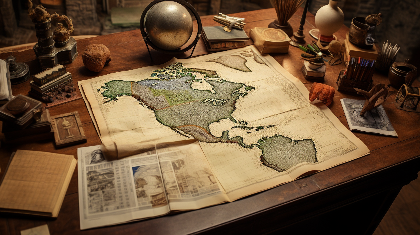
Mexican States
Southwest United States
Heritage and Governance

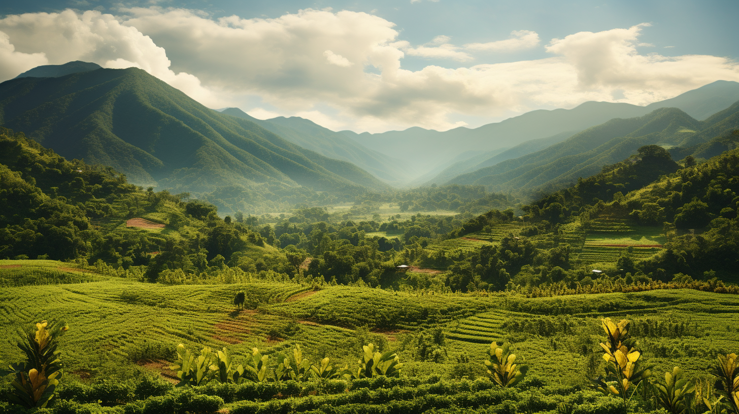
Indigenous Colima: Past and Present
Colima is the third smallest of Mexico’s thirty-two states, and has a larger area than only Aguascalientes, Morelos, Tlaxcala and the Federal District. This state lies in western Mexico and is surrounded by the states of Michoacán de Ocampo on the southwest and Jalisco on the north. It also shares a 157-kilometer shoreline along the Pacific Ocean.

Estado de Mexico’s Indigenous Past and Present
The State of México is located in the center-south section of the Mexican Republic. This landlocked state has common boundaries with Querétaro de Arteaga and Hidalgo on the north, Puebla and Tlaxcala on the east, Distrito Federal, Guerrero and Morelos on the south and Michoacán de Ocampo on the west. The capital of México is Toluca de Lerdo, which had a population of 819,561 in 2010, making it the fifth largest city in the entire Republic of México.

Oaxaca: A Land of Amazing Diversity
Most Americans have heard of Oaxaca and its copious diversity. Usually this knowledge is spread by word of mouth or through informative newspaper and magazine articles. However, Mexico’s census Mexico’s Census Agency — the Instituto Nacional de Estadística y Geografía (INEGI) — known to Americans as the National Institute of Statistics and Geography — is the original source for much of the census data regarding Indigenous Mexican languages today. And this information will be outlined below.

Indigenous Jalisco: A History
Nueva Galicia’s Indigenous People
Established in 1548, the Spanish province of Nueva Galicia embraced 180,000 kilometers and included most of present-day Jalisco, Nayarit, Aguascalientes and Zacatecas. Across this broad range of territory, a wide array of indigenous groups lived during the Sixteenth Century.

Zacatecas: Land of the Chichimecas
As the eighth largest state of Mexico, Zacatecas has a square area of 75,284 square kilometers (29,067 square miles), equal to 3.84% of the national territory. The State of Zacatecas is divided into fifty-eight municipios, with the City of Zacatecas as its capital.
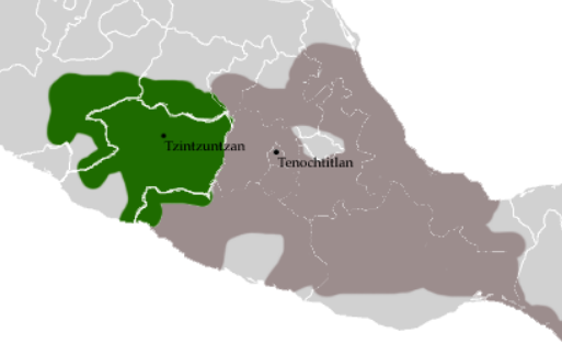
Michoacán: The Purépecha Struggle for Freedom
The State of Michoacán de Ocampo occupies 58,599 square kilometers and is the sixteenth largest state in Mexico, taking up 3.0% of the national territory.

Indigenous Guanajuato: Los Antepasados de Los Guanajuatenses
Guanajuato is a relatively small state – twenty-second in terms of size among the Republic’s states – with a surface area of 30,608 square kilometers of territory, giving it 1.6% of the national territory. Politically, the State is divided into 46 municipios. Guanajuato’s 2010 population was 5,853,677, representing 4.9% of Mexico’s total population and ranking six among the 31 states and the Distrito Federal.

Early Southern California History (1769-1800)
This presentation explores the original Spanish settlement of Southern California in the late 18th Century, as well as the large number of indigenous communities that existed in the area. Of special interest will be the Expedition of 1781 from Álamos, Sonora, which led to the establishment of Los Angeles, San Buenaventura and Santa Barbara.

The Native Roots of Southern Californians
On September 4, 1781, 44 pobladores (settlers) arrived at a location 9 miles west of the San Gabriel Mission to establish California’s second pueblo: El Pueblo de Nuestro Señora la Reina de Los Angles del Río de Porciúncula or The Town of Our Lady the Queen of Angeles by the River of Porciúncula. Later, the name was shortened to Los Angeles. When the 44 settlers arrived in Los Angeles, they and their families settled a short distance from a Kizh Nation village called Yang-na (now referred to as Yaanga) — now near the intersection of Alameda and Commercial Streets (south of the 101) — where 300 natives already lived.

Tracing Your Indigenous Roots in Sonora: A Challenge and an Adventure
In recent years, many Americans have taken an interest in their indigenous roots from northern Mexico. From the Late Eighteenth Century to the present, significant numbers of people from the State of Sonora migrated to Los Angeles and other areas of California.

The Caxcanes of Nochistlán: Defenders of Their Homeland
Throughout human history, many groups of people have witnessed the arrival of aliens from far away countries in their traditional homeland territories. Responses to such intrusions have varied from century to century, continent to continent and from one people to another. In most cases, the invader intruded upon the economy, the resources and the political administration of the indigenous peoples. And all too often, the invader dominates and enslaves the people. Other occupations are less dramatic.

Indigenous Baja California: The Rarest of the Rare
The Baja California Peninsula is located in the northwestern portion of the Mexican Republic. This body of land extends approximately 775 miles (1,250 kilometers) from Tijuana in the north to Cabo San Lucas in the south and is separated from the rest of Mexico by the Gulf of California (also called the sea of Cortés).

An Entire Frontier in Flames: The Regional Implications of the Pueblo Revolt (1680-1696)
Many people from New Mexico are familiar with the Pueblo Revolt of 1680 and how it drove the Spanish and mestizo population out of the region for several years. What many people do not know is that the Pueblo Revolt was actually part of a larger regional rebellion against Spanish rule.

Ritchie Valens: Pioneer Son of California
In July and August of 1781, two separate legs of an expedition arrived at the San Gabriel Mission with the intention of establishing a new Spanish settlement called “El Pueblo de Nuestra Señora de Los Angeles,” nine miles west of the mission. After a journey of 950 miles from Álamos (Sonora) through hostile Indian territory, fifty-six soldiers and eleven settlers (pobladores) and their families had arrived in San Gabriel and among their ranks were:

The Expedition of 1781: The Founding of Los Angeles
Most people living in Los Angeles today have probably never heard of the Expedition of 1781. However, if this expedition had not taken place or fulfilled its objectives, Los Angeles would not have turned 238 years old in September 2019. This expedition of almost a thousand miles founded a small pueblo on the outskirts of the extensive Spanish Empire. That small pueblo, now known as Los Angeles, would eventually form the nucleus of a thriving multi-ethnic, multicultural urban center with a population of almost 10 million people.

Indigenous Tlaxcala: The Allies of the Spaniards
The state of Tlaxcala is located in center-south Mexico. Its neighbors are the States of México (on the east), Hidalgo (on the north) and Puebla (on the north, west and south). The small state of Tlaxcala lies just north of Heroica Puebla and is surrounded by the State of Puebla on all sides, except the northwest. Tlaxcala is the smallest of Mexico’s 31 states, with an area of only 4,016 square kilometers, representing 0.2% of the national territory. Only the Federal District is smaller.

Watching the Yaquis from Los Angeles (1894-1937): Enduring Resistance in the Face of Extermination
From its founding in 1781, Los Angeles has had an important cultural link to the Mexican state of Sonora. A significant number of the inhabitants of Los Angeles during its first few decades were natives of Sinaloa and Sonora. And many of those migrants from the south were of Yaqui, Mayo or Totorame descent. By the time they came to California, most of those people were Christianized indios, mestizos and mulatos who were citizens of the Spanish Empire and had lost many elements of their original indigenous heritage and culture. Nevertheless, for many Angelinos, a distinct bond between Los Angeles and Sonora remained. And some Angelinos recognized their genetic link to the Yaqui Indians of southern Sonora.

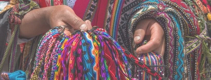
The Mixtecs and Zapotecs: Two Enduring Cultures of Oaxaca
The State of Oaxaca is located in the south of Mexico where the Eastern Sierra Madre and the Southern Sierra Madre mountain ranges merge. Oaxaca shares common borders with Guerrero (on the west), Puebla (on the north), Veracruz (on the north and northeast), and Chiapas (on the east). Oaxaca also shares a long coastline with the Pacific Ocean on its south.

Indigenous San Luis Potosí: The Land of the Náhuatl and the Huastecos
The land-locked state of San Luis Potosí (SLP) is located in center-north Mexico. With a surface area of 61,138 square kilometers (representing 3.1% of the total area of the Mexican Republic), San Luis Potosí is politically divided into 58 municipios and touches nine other Mexican states. The state is adjacent to Coahuila on the north, Nuevo León on the northeast, and Tamaulipas on the northeast. Additionally, San Luis Potosí has a common border with Veracruz Llave (on the east), Guanajuato, Querétaro and Hidalgo on the south, Jalisco on the southwest, and Zacatecas to the west.
Speakers of Foreign Languages in Mexico (1910-1950)
It has been a well-established fact that the long-lived dictatorship of General Porfirio Díaz (1876 — 1911) ushered in an era of significant Mexican immigration. During the Porfiriato, the Mexican government sponsored the influx of foreign capital and immigrants as an essential ingredient to its nation building strategy.
Article Categories
- Aguascalientes 14
- Arizona 4
- Baja California 5
- Baja California Sur 2
- California 17
- Campeche 4
- Census 35
- Chiapas 3
- Chihuahua 13
- Coahuila 7
- Colima 1
- Conquistador Chronicles 2
- Durango 2
- Ethnic Identity 39
- Genealogy 35
- Guanajuato 8
- Guerrero 8
- Hidalgo 2
- Indigenous Insights 96
- Jalisco 25
- Mexico City 11
- Michoacan 7
- Morelos 4
- Nayarit 3
- New Mexico 4
- Nuevo Leon 7
- Oaxaca 6
- Politics 10
- Puebla 5
- Queretaro 1
- Quintana Roo 4
- San Luis Potosi 11
- Sinaloa 6
- Sonora 16
- Southwest US 26
- State of Mexico 5
- Tabasco 3
- Tamaulipas 11
- Texas 7
- Tlaxcala 7
- Veracruz 6
- Yucatan 6
- Zacatecas 13